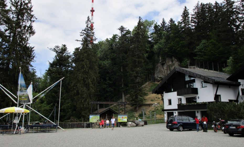
Hike with great views from the mountain station of the Pfänderbahn via the sometimes steep but interesting Gschliefweg back to the valley station. Of course, you can also walk from bottom to top.
Author tip
Diese Wanderung kann natürlich auch in umgekehrter Richtung erfolgen. Knieschonend geht es dann 600 Hm mit der Pfänderbahn zu Tal.
Details
Highest point | 1020 m |
Jan | Feb | Mar | Apr | May | Jun |
Jul | Aug | Sep | Oct | Nov | Dec |
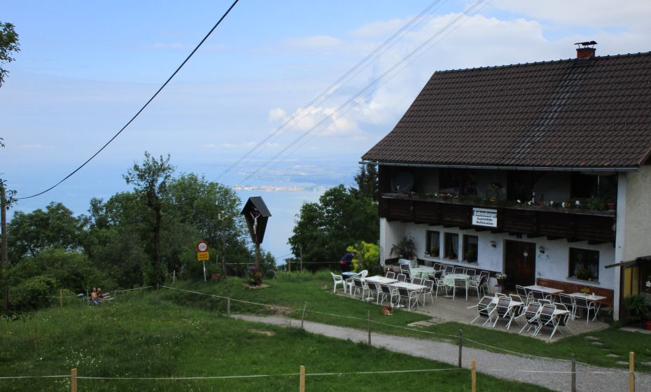
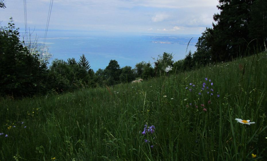
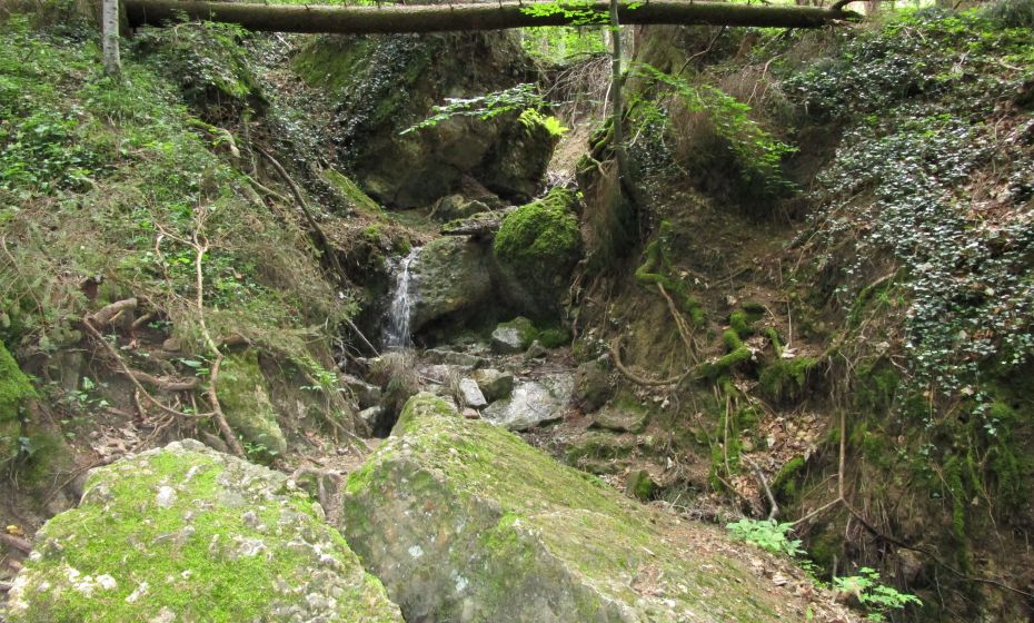
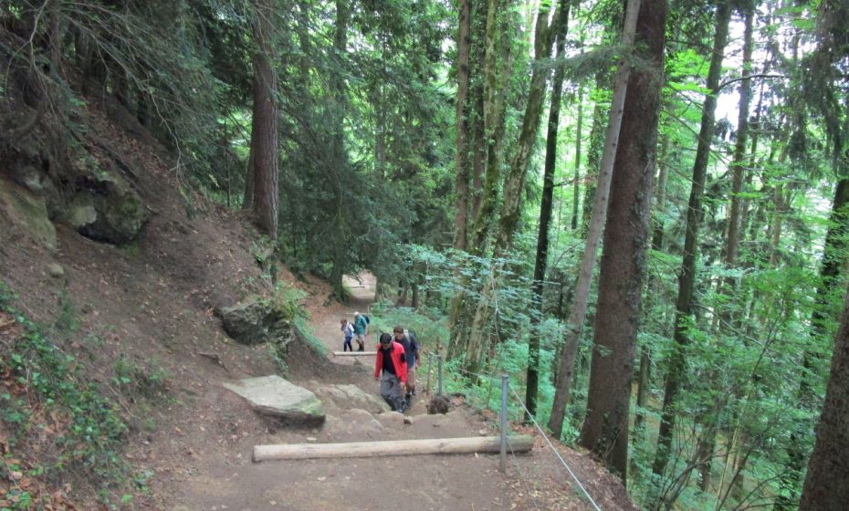
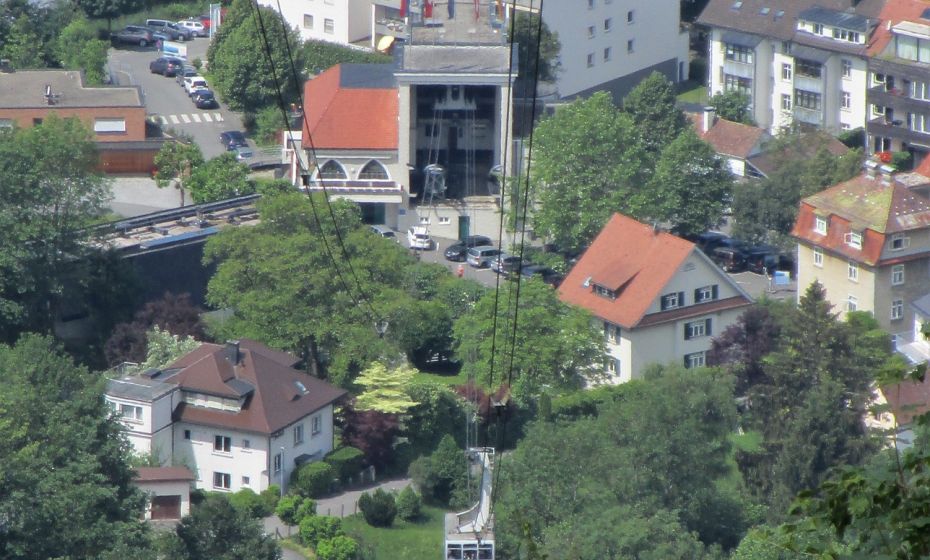
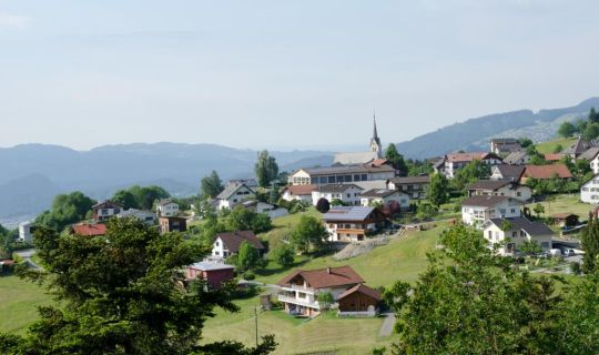
The Pfänderbahn in Bregenz takes you up the Pfänder (1064m) in just 6 minutes. Here you can enjoy one of the most beautiful vantage points in the Lake Constance region with a magnificent panoramic view of Lake Constance, the Rhine Valley, the Swiss mountains and the Bregenzerwald. A detour to the wildlife park is not only worthwhile for children. The descent (600 m) follows wide, sometimes steep hiking trails, mostly in shady forest. A sign at the turn-off at the Gasthof Pfänderdohle warns you: "... only accessible with good shoes, not suitable for use with strollers". The path always follows the cable car into the valley. The view over Lake Constance opens up again and again. With good visibility you can often see as far as the Swiss Jura and far into the Swiss mountains. The winding shore of Lake Constance in the Rhine Valley with the Rhine protrusion and the estuary of the Bregenzerach shows a river delta that is slowly working its way into Lake Constance. The path then leads through the steep steps of the Nagelfluhbänke, always along the edges of steep gorges. The Nagelfluh rock blocks in the forest and in the streams show that this area is always in motion. You will experience a largely natural rockfall forest in which decrepit trees are allowed to die and thus provide a habitat for many creatures. Then it gets a little flatter again and civilization returns. The last part of the path leads through the outskirts of Bregenz, where old villas alternate with new architecture, until you reach the end of the hike at the valley station of the Pfänderbahn via the cobbled Steinbruchgasse.
From the mountain top(1030m) an asphalt road leads in two hairpin bends to the Pfänderdohle inn (975m). Here you branch off to the right, follow the path marking "Pfänderbahn Talstation", past the lifts of the ski area on the Pfänder to Hintermoos (850m). Follow the signs for the "Pfänderbahn Talstation" and descend steeply to the left to Weißenreute (520m). After a right/left loop, you will reach the first houses in Bregenz and then the starting point at the valley station of the Pfänder cable car (425m).
This hike can of course also be done in the opposite direction and you can take the cable car down the mountain.