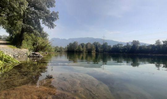
Cycle route from Bregenz to Partenen. The route leads along the Rhine to Feldkirch, before continuing along the River Ill to Montafon.
Details
| Highest point | 1057 m |
| Jan | Feb | Mar | Apr | May | Jun |
| Jul | Aug | Sep | Oct | Nov | Dec |
From Bregenz, Route 1 starts along Mehrerauerstraße and over the cycle bridge at the mouth of the Bregenzer Ach through the centre of Hard. The route then continues over the Rhine bridge to Fußach before following the Rhine upstream via Lustenau, Hohenems, Altach, Mäder, Koblach and Meiningen to Feldkirch. Where the River Ill joins the Rhine, the route branches off and follows the course of the Ill through the town centre of Feldkirch to Frastanz. From here it continues along ponds and forests via Nenzing to Bludenz. In the direction of Lorüns, Route 1 leaves the Walgau area and continues along the River Ill into the Montafon. The municipalities of Vandans, St. Anton and Bartholomäberg are also included in the Ill-Rhine route, as are Schruns, Tschagguns and St. Gallenkirch, with turn-offs to town centres and railway stations clearly signposted by the cycle route signs. In Gaschurn, the route now follows a short section along a local road towards the final destination of Partenen.
www.vmobil.at
Cycle route from Bregenz to Partenen. The route leads along the Rhine to Feldkirch, before continuing along the River Ill to Montafon.


